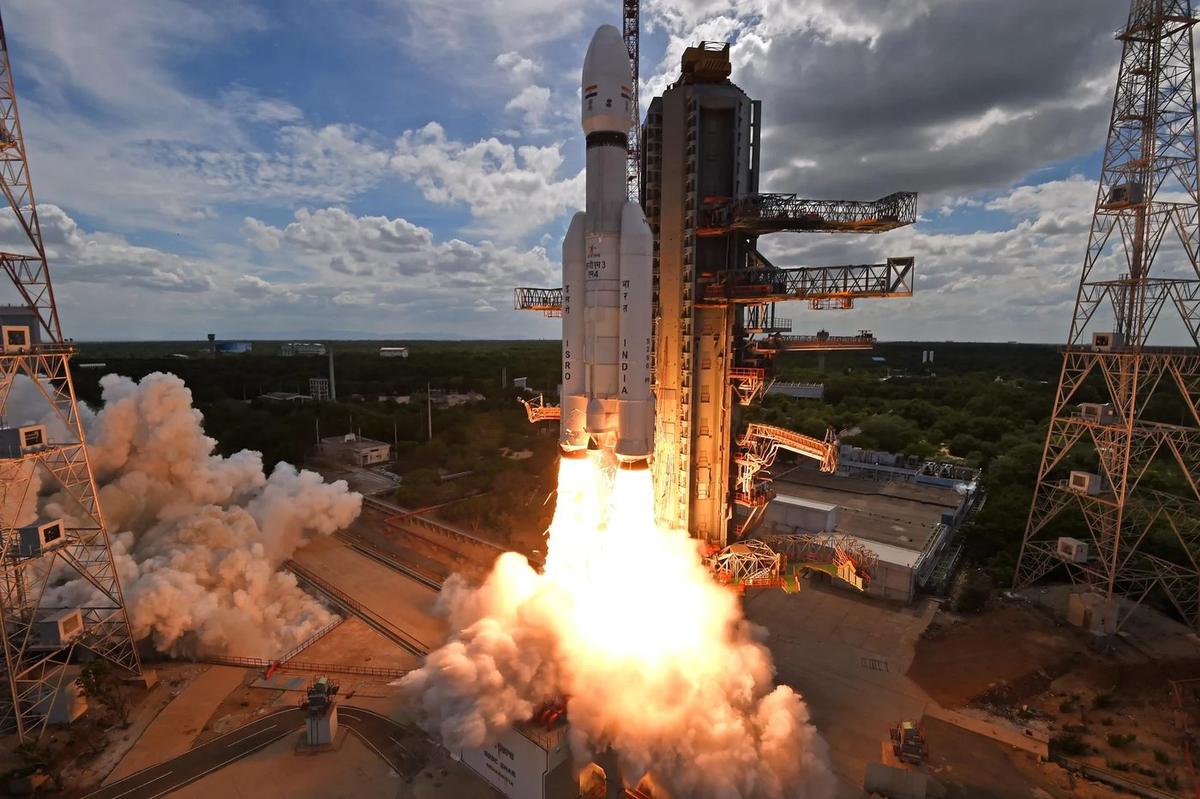
Photo: LVM3 launch, Sriharikota, ISRO, GODL-India

APPSC Group-I Mains 2025 · Paper V
2025 Paper V · Q5(a): model answer
Science, Technology & Environmental Issues · Space, defence and nuclear technology. Held in May 2025 (Notification 12/2023).
Describe the role of the Indian Remote Sensing (IRS) satellite programme. How do these satellites assist in natural resource management?
Syllabus: Space, defence and nuclear technology · Space technology
Indian Remote SensingEarth observationNatural resource managementNRSC and Bhuvan
Remote sensing means collecting information about the Earth from a distance by recording the radiation reflected or emitted by its surface. India's Indian Remote Sensing (IRS) programme began with IRS-1A on 17 March 1988, after the experimental Bhaskara satellites (1979 and 1981). It has grown into one of the world's largest civilian Earth observation constellations, whose data is received and distributed by ISRO's National Remote Sensing Centre (NRSC), Hyderabad.
1. How remote sensing works
2. The IRS programme and its role
| Series | Key feature | Main use |
|---|---|---|
| Resourcesat (2003 onwards) | Multispectral cameras (LISS, AWiFS) | Crops, land use, forests, water |
| Cartosat (2005 onwards) | High-resolution and stereo images | Maps, cities, infrastructure |
| Oceansat (1999; Oceansat-3, 2022) | Ocean colour and winds | Fishing zones, ocean weather |
| RISAT-1 (2012), EOS-04 (2022) | Radar that sees through cloud | Floods, monsoon crops |
| NISAR (July 2025, with NASA) | L- and S-band radar | Earthquakes, glaciers, soil moisture |
| EOS-05 (September 2026) | First high-resolution imaging satellite in geosynchronous orbit | Watching one region many times a day |
- Data backbone: NRSC supplies the data, and ISRO's Bhuvan geoportal (2009) offers free maps and thematic layers to departments, researchers and citizens.
- Planning tool: natural-resource census maps, wasteland and land-degradation atlases (29.7% of India's land degraded in 2018-19) and urban master plans use IRS data.
- Disaster management: flood, cyclone-damage and drought maps; ISRO is a member of the International Charter "Space and Major Disasters".
- Commerce and security: NSIL sells data abroad, and high-resolution imagery supports mapping for security.
3. Natural resource management
- Agriculture and soil: FASAL crop forecasts by the Mahalanobis National Crop Forecast Centre, drought assessment, support to crop insurance, and soil and land-degradation maps.
- Water: groundwater-prospect maps guide well-drilling; reservoirs, snow, glaciers and glacial lakes are monitored; watershed and command-area plans use IRS data.
- Forests and biodiversity: the Forest Survey of India maps forest cover from IRS imagery for its biennial ISFR (forest cover 21.76% in 2023); forest-fire alerts and mangrove and wetland maps follow.
- Oceans and fisheries: INCOIS issues Potential Fishing Zone advisories from satellite ocean-colour and sea-temperature data, cutting fuel use and search time for fishers.
- Minerals and land: geological and lineament maps aid mineral exploration, and land-use change and illegal mining can be tracked.
AP angle: the AP Space Applications Centre maps land use, crops and water bodies for the State, and NRSC's flood maps of the Godavari and Krishna deltas guide relief.
Limits: cloud cover (partly overcome by radar), costly very-high-resolution data, and the loss of EOS-09 and DRDO's EOS-N1 in the PSLV failures of May 2025 and January 2026.
The IRS programme turned space technology into a tool of development; combining its data with AI, State GIS systems and village planning can make resource management more precise and timely.
The other choice in Q5
Answer either one in the exam.
- Q5(b)Provide a comprehensive overview of the primary reasons for deforestation in Andhra Pradesh in the past two decades.
10 marks · Ecology, biodiversity and natural resources · Natural resources, forests and mining
Every model answer on these pages is free to read. The Tool Kit adds four PDF books for Mains Papers I–IV: every previous question sorted by syllabus, with practice questions. It is in the ₹149 All-in-One Pass, with every previous paper of every exam on the site, practice quizzes, timed tests, mock test series and study books.
₹149 · valid for 12 months from the day you pay, on every exam · pay by UPI, card or net banking