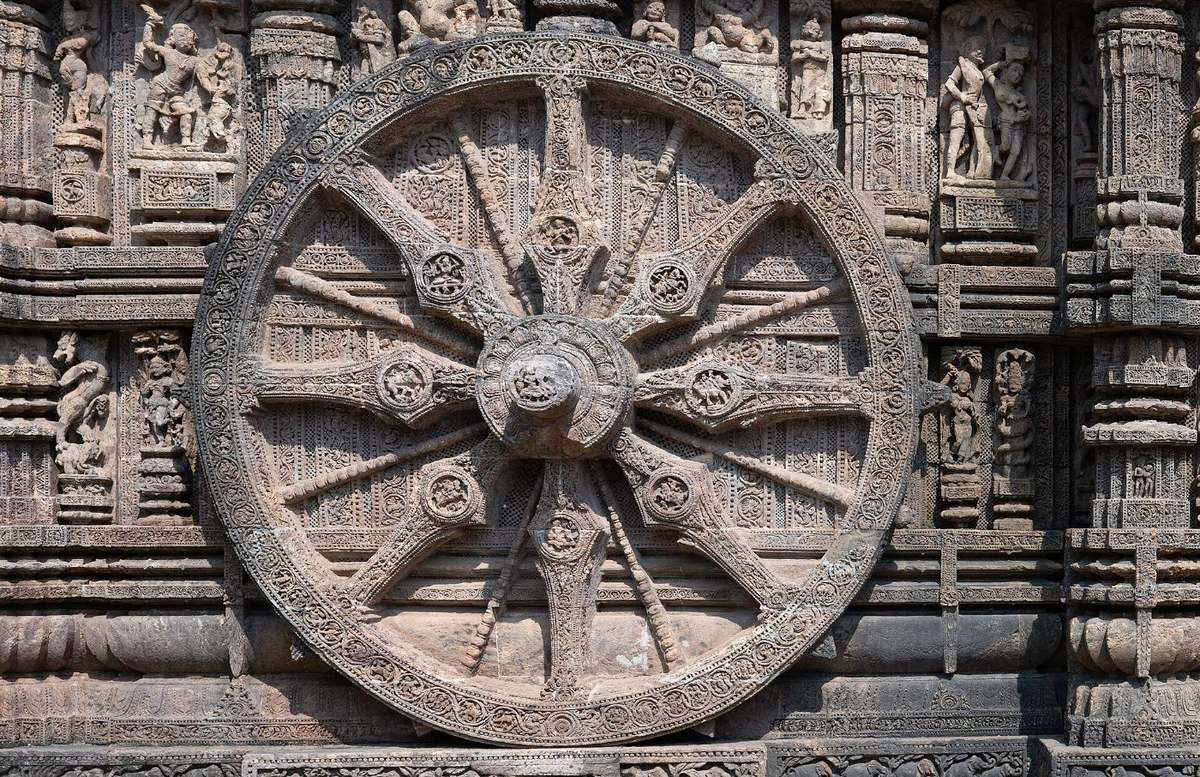
Photo: Konark Sun Temple wheel, Joydeep, CC BY-SA 4.0

UPSC Civil Services (Main) 2023 · GS Paper I
UPSC Mains 2023 GS 1 · Q1: model answer
General Studies Paper I: Indian Heritage and Culture, History and Geography of the World and Society · Indian Art and Culture.
Explain the role of geographical factors towards the development of Ancient India.
Syllabus: Indian Art and Culture · Ancient and medieval history
PhysiographyRiver valleysMonsoonPasses and coastline
Geography was the stage on which India's ancient history unfolded. The Himalayas sheltered the north and fed perennial rivers; the river valleys of the Indus and the Ganga nurtured the first cities and the great kingdoms; the monsoon set the rhythm of farming; and the Vindhyas, the Deccan plateau and a long coastline produced regional diversity and overseas contact. Environment did not decide history, but it shaped where and how civilisation grew.
1. Mountains, passes and plateaus
- Himalayan barrier: the Himalayas kept out the cold winds of Central Asia and made large-scale invasion difficult, allowing a long and continuous cultural development in the north.
- North-western passes: the Khyber, Bolan and Gomal passes let in migrants, traders and conquerors, from Indo-Aryan speakers to the Achaemenid Persians (6th century BCE), Alexander (326 BCE), the Shakas and the Kushanas. The north-west became a zone of cultural fusion, seen in Gandhara art.
- Vindhya–Satpura divide: these ranges and the Deccan plateau separated the north from the south, so the peninsula developed its own Dravidian languages and states, such as the Satavahanas and the Sangam kingdoms, while staying linked by trade routes such as the Dakshinapatha.
2. Rivers and fertile plains
- Indus system: alluvium and floods supported Harappan farming and cities such as Harappa, Mohenjo-daro and Kalibangan; a weaker monsoon and the drying of the Ghaggar-Hakra are among the explanations for their decline.
- Ganga valley: once iron tools helped clear its forests, surplus paddy in the middle Ganga plain supported the second urbanisation of the sixth century BCE and the sixteen mahajanapadas.
- Rivers as highways: capitals such as Pataliputra on the Ganga used rivers for trade, transport and defence.
- Peninsular deltas: the Krishna–Godavari and Kaveri deltas sustained the Satavahana, Ikshvaku and Chola states.
3. Monsoon and climate
- Agrarian rhythm: sowing, harvest and seasonal festivals followed the monsoon; settlement was dense in the well-watered eastern Ganga plain and sparse in the Thar.
- Maritime trade: sailors' use of the monsoon winds (credited to the Greek navigator Hippalus) expanded Indo-Roman trade in the early centuries CE through ports such as Muziris and Arikamedu.
4. Resources and the coast
- Minerals and forests: Magadha rose on iron ore from nearby hills (present-day Jharkhand), elephants from its forests and fertile land; the Harappans obtained copper from the Khetri area of Rajasthan.
- Ports: Lothal's dockyard, and later Bharukachchha (Broach), Sopara, Tamralipti and Muziris, linked India with Mesopotamia, Rome and Southeast Asia, carrying Buddhism and Indian culture overseas.
- Ecological zones: Sangam poems link five landscapes (tinai), from the hills (kurinji) to the coast (neytal), with distinct livelihoods.
| Geographical factor | Effect | Example |
|---|---|---|
| Himalayas | Protection; perennial rivers | Continuity of north Indian culture |
| North-western passes | Migration, trade, invasions | Achaemenids, Alexander, Kushanas; Gandhara art |
| Indus and Ganga plains | Food surplus, cities, states | Harappan cities; mahajanapadas; Magadha |
| Vindhyas and Deccan | Regional diversity | Satavahanas; Sangam kingdoms |
| Monsoon | Farming cycle; sea trade | Indo-Roman trade via Muziris |
| Coastline | Ports and overseas contact | Lothal, Tamralipti, Arikamedu |
In short, India's unity in geographical diversity — mountain walls, fertile river plains, the monsoon and open seas — explains both the continuity of its civilisation and its regional variety; human effort, technology and ideas turned these advantages into history.
The ₹149 All-in-One Pass opens the rest of the site for 12 months: UPSC Prelims GS Paper I and CSAT with explanations, practice quizzes and timed tests, UPSC CAPF and EPFO, the previous papers of every APPSC, TSPSC, police and SSC exam, every mock test series and the study books.
₹149 · valid for 12 months from the day you pay, on every exam · pay by UPI, card or net banking