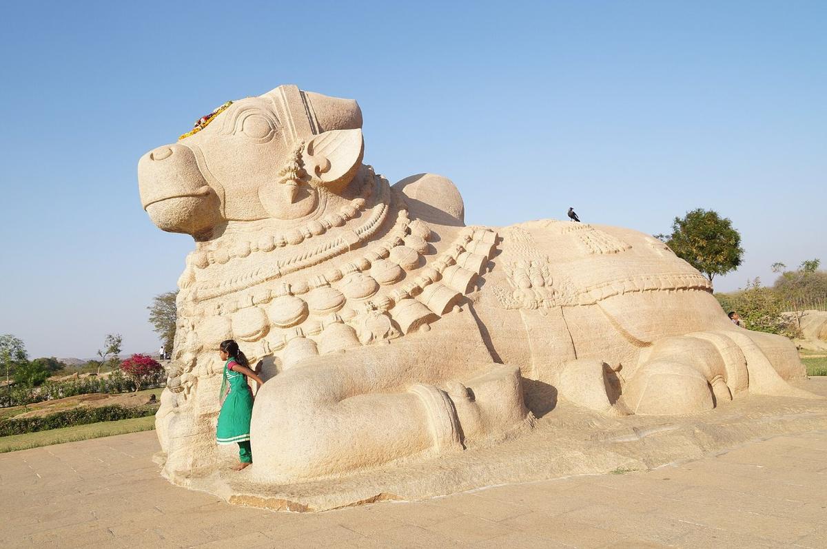
Photo: Lepakshi Nandi, Rahmanuddin, CC BY-SA 4.0

APPSC Group-I Mains 2020 · Paper II
2020 Paper II · Q11(a): model answer
History, Culture & Geography of India and Andhra Pradesh · Land, Climate, Rivers and Natural Resources. Held in December 2020 (Notification 27/2018).
Give a brief account of geographical features of Andhra Pradesh.
Syllabus: Land, Climate, Rivers and Natural Resources · Landforms of India and Andhra Pradesh
PhysiographyEastern GhatsCoastal plainsRayalaseema plateau
Andhra Pradesh, India's seventh largest state by area (about 1.63 lakh sq km after 2014), lies roughly between 12°41' and 19°07' N latitude and 77° and 84°40' E longitude. It borders Odisha, Chhattisgarh, Telangana, Karnataka and Tamil Nadu, with the Bay of Bengal on the east. Its geography combines the Eastern Ghats, fertile deltas and a dry plateau.
1. Physiographic divisions
- Eastern Ghats: a discontinuous chain of hills, from the Araku and Paderu hills in the north (with peaks above 1,600 m such as Arma Konda) to the Nallamala, Velikonda, Erramala, Palakonda and Seshachalam hills in the south; rich in forests and minerals.
- Coastal plains: a coastline of about 1,053 km (2025 re-measurement; 974 km earlier), the third-longest among states, with the fertile Godavari and Krishna deltas (the "rice bowl"), sandy beaches, lagoons and mangroves such as Coringa.
- Rayalaseema plateau: part of the Deccan plateau with granite and gneiss rocks, red and black soils, and low, erratic rainfall; Anantapur is among the driest regions of India.
Shaded: the nine coastal districts (Coastal Andhra); unshaded: Rayalaseema (2011 districts)
Schematic map of Andhra Pradesh (2011 census district outlines), not to scale; for study only.
2. Climate
- Tropical monsoon: the south-west monsoon (June–September) brings most of the rain to the northern parts.
- Two monsoons in the south: south coastal Andhra and Rayalaseema also depend on the north-east monsoon (October–December).
- Rainfall gradient: rainfall decreases from the north-eastern hills and coast towards the south-west, where Anantapur receives the least.
- Hazards: the coast is prone to cyclones and storm surges, while Rayalaseema faces recurring drought.
3. Drainage, soils and resources
- Rivers: east-flowing rivers – Godavari, Krishna, Pennar, Vamsadhara and Nagavali – and the Kolleru (freshwater) and Pulicat (brackish lagoon) lakes.
- Soils: red soils dominate, with black cotton soils in parts of Rayalaseema and alluvium in the deltas.
- Minerals: barytes (Mangampet), limestone, bauxite, heavy mineral beach sands, and oil and gas in the Krishna–Godavari basin.
4. Natural vegetation
- Forest types: mostly tropical dry deciduous and thorn forests, with moist deciduous forests in the northern Eastern Ghats and mangroves in the Godavari and Krishna estuaries.
- Endemic wealth: red sanders grows naturally in the southern Eastern Ghats (Seshachalam, Palakonda and Lankamala hills), and the Jerdon's courser survives in the Lankamalleswara forests.
| Region | Relief and soils | Economy |
|---|---|---|
| North coastal and agency hills | Eastern Ghats, red soils, high rainfall | Tribal farming, coffee (Araku), forests |
| Central deltas | Godavari–Krishna alluvium, lagoons | Paddy, aquaculture, coconut |
| South coast | Sandy coast, red soils, Pennar plain | Tobacco, aquaculture, ports |
| Rayalaseema | Deccan plateau, red and black soils, low rain | Groundnut, horticulture, minerals |
These diverse features give AP agricultural, marine and mineral wealth but also expose it to cyclones and droughts, calling for climate-resilient planning and balanced regional development.
The other choice in Q11
Answer either one in the exam.
- Q11(b)Give a brief account of the drainage system of Andhra Pradesh.
10 marks · Land, Climate, Rivers and Natural Resources · Soils, rivers and dams
Every model answer on these pages is free to read. The Tool Kit adds four PDF books for Mains Papers I–IV: every previous question sorted by syllabus, with practice questions. It is in the ₹149 All-in-One Pass, with every previous paper of every exam on the site, practice quizzes, timed tests, mock test series and study books.
₹149 · valid for 12 months from the day you pay, on every exam · pay by UPI, card or net banking